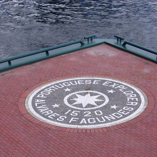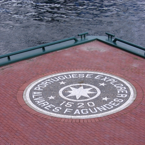
Source: Courtesy of Wikimedia Commons
FAGUNDES, JOÃO ALVARES, Portuguese explorer; fl. 1521.
Fagundes, a native of Viana, Portugal, seems to have been a member of a company organized by residents of that city who wished to found a colony in Newfoundland. Fagundes received letters patent from King Manoel of Portugal (1495–1521) granting him the captaincy of any lands he might discover between “Cortereal Land” (the eastern shore of Newfoundland) and the territories assigned to Spain by the treaty of Tordesillas [signed 7 June 1494 between Spain and Portugal to settle conflicts arising from Columbus’s first voyage]. On 13 March 1521, he had a Lisbon notary duly record his discoveries, made during a recent voyage, probably the year before. Among them he mentioned the three islands in Watering-Place Bay (Baya d’Auguoada), other islands which he called “Fagundas,” the archipelago of Saint-Pantaléon, the archipelago of the 11,000 Virgins, and the island of Santa Cruz.
The archipelago of the 11,000 Virgins appears for the first time on the Reinel-Miller “Carta Atlantica” (BN, Paris). It is generally taken for granted that this archipelago is the Saint-Pierre-Miquelon-Langlade group with the small islands around it. H. P. Biggar and W. F. Ganong have identified Watering-Place Bay with Chedabucto Bay, between Cape Breton Island and Nova Scotia, where there are three relatively large islands (Madame, Janvrin, and Petite-de-Grat); but since the line of demarcation between the lands assigned to Spain and those assigned to Portugal was generally thought to cut through Cabot Strait, it is unlikely that Fagundes would have laid claim to Cape Breton Island, which was included in the Spanish zone. Harrisse has identified Watering-Place Bay with the Gulf of St. Lawrence, and Hoffman (Cabot to Cartier, 35) has suggested that “after 1521 Fagundes transferred his operations to Nova Scotian waters.” There is no doubt that Fagundes discovered the southern coast of Newfoundland, between Cape Race and Cape Ray; but whether he also explored Cape Breton Island and penetrated into the Gulf of St. Lawrence remains a matter of speculation.
An island called “Fagunda” appears on later Portuguese maps (by Lopo Homem, Vaz Dourado, etc.). It is placed to the southeast of Cape Breton, fairly near the present location of Sable Island. This island may be the one Fagundes named Santa Cruz, and which he located “at the foot of the bank.”
Nothing more is known of Fagundes’s venture. He spent large sums of money, but we do not know if he actually founded a colony. It does seem however that Portuguese fishing establishments were set up along the shore of Newfoundland, probably by men from Viana or from the Azores.
“1516–1521. Descobertas de Joao Alvares Fagundes,” Archivo dos Açores, IV (1882), 466–67. E. A. de Bettencourt, Descobrimentos, guerras e conquistas . . . (Lisboa, 1881) 132–35. Armando Cortesão, Cartógrafia e cartógrafos portugueses dos séculos XV e XVI (2v., Lisboa, 1935), I, 287–88. W. F. Ganong, “Crucial maps, II.” Henry Harrisse, The discovery of North America: a critical, documentary, and historic investigation, with an essay on the cartography of the new world . . . (London, 1892), 182–88. Hoffman, Cabot to Cartier, 35, 100–1. Precursors (Biggar), xxii-xxiv.
Cite This Article
L.-A. Vigneras, “FAGUNDES, JOÃO ALVARES,” in Dictionary of Canadian Biography, vol. 1, University of Toronto/Université Laval, 2003–, accessed April 1, 2025, https://www.biographi.ca/en/bio/fagundes_joao_alvares_1E.html.
The citation above shows the format for footnotes and endnotes according to the Chicago manual of style (16th edition). Information to be used in other citation formats:
| Permalink: | https://www.biographi.ca/en/bio/fagundes_joao_alvares_1E.html |
| Author of Article: | L.-A. Vigneras |
| Title of Article: | FAGUNDES, JOÃO ALVARES |
| Publication Name: | Dictionary of Canadian Biography, vol. 1 |
| Publisher: | University of Toronto/Université Laval |
| Year of publication: | 1966 |
| Year of revision: | 1979 |
| Access Date: | April 1, 2025 |


